Current Conditions

Partnership

EFM

City of Madison

Dane County

WDNR

LTER

NSF


Surface Water Map
Fish and Crystal
Station at Fish Lake
Station at Crystal Lake
USGS Station at Windsor
Station at Token Creek
USGS Station at Hwy 113
USGS Station at Pheasant Branch
USGS Station at Spring Harbor
USGS Station at Lake Mendota
Station at E Johnson Street
USGS Station at Yahara River, East Main Street
USGS Station at Lake Monona
Station at Lake Wingra
Station at Lake Monona Outlet
Station at Door Creek
Station at Swan Creek
USGS Station at Lake Waubesa
USGS Station at McFarland
USGS Station at Barber Dr, Lake Kegonsa
USGS Station at Forton St Bridge, Yahara River
Station at Dunkirk Dam
LaFollette Dam
USGS Station at SixMile Hwy 19
USGS Station at SixMile Hwy M
USGS Station at Dorn Hwy Q
USGS Station at Dorn Hwy M
AOSS Rooftop Instrument
UW Lake Mendota Buoy
Mendota Buoy
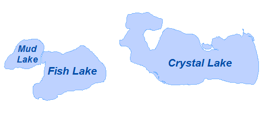
Click Shape on Map to Open Link

Gage Station  Gage Station

AOSS Building  AOSS Weather Station

Mendota Buoy  Mendota Buoy

H = Water Elevation (NGVD29)
Q = Discharge
T = Water Temperature
N.R. = Not Reporting